Abstract
This paper describes the representation and navigation of large, multi-resolution, georeferenced datasets in VRML97. This
requires resolving nontrivial issues such as how to represent deep level of detail hierarchies efficiently in VRML; how to
model terrain using geographic coordinate systems instead of only VRML’s Cartesian representation; how to model
georeferenced coordinates to sub-meter accuracy with only single-precision floating point support; how to enable the
integration of multiple terrain datasets for a region, as well as cultural features such as buildings and roads; how to navigate
efficiently around a large, global terrain dataset; and finally, how to encode metadata describing the terrain. We present
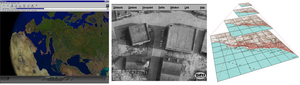
solutions to all of these problems. Consequently, we are able to visualize geographic data in the order of terabytes or more,
from the globe down to millimeter resolution, and in real-time, using standard VRML97.
Citation:
Modeling the Digital Earth in VRML,
Martin Reddy, Yvan G. Leclerc, Lee Iverson, Nat Bletter,
and Kiril Vidimče, 28th Applied Imagery Pattern Recognition
Workshop, October 1999, pp. 13-‐15.